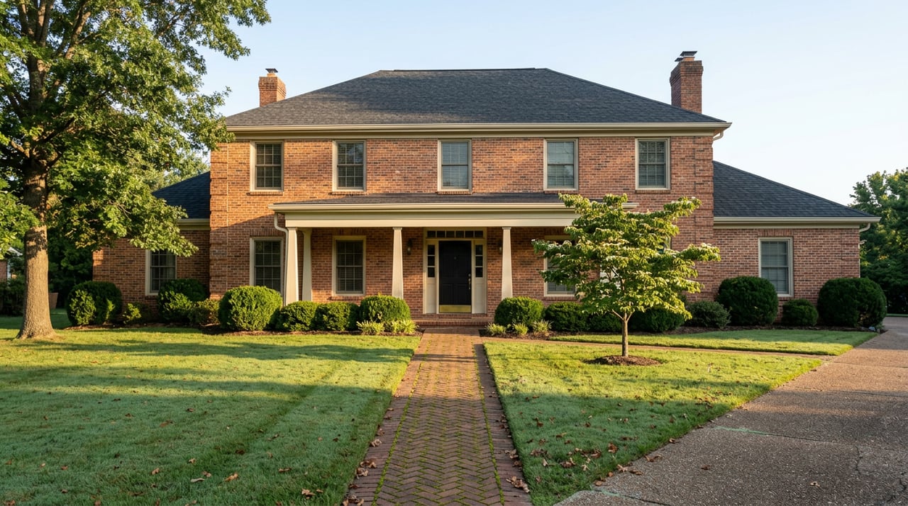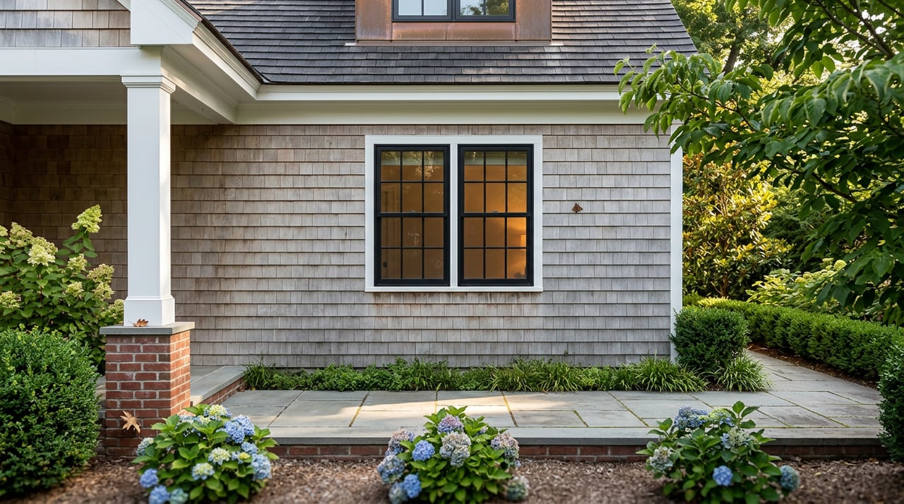
You accept an offer on your Severna Park cottage in eleven days. Two weeks later the buyer's title company calls. There is a patio, a pergola, and a second stair to the water that do not appear in county permit records, all of them sitting inside the 100-foot Chesapeake Bay Critical Area Buffer. The lender will not insure over an open code condition. The listing is now a variance application, not a sale.
That story is not hypothetical. It is a version of the recommendation the Anne Arundel County Office of Planning and Zoning made in a 2025 case at a two-acre waterfront property, where the applicant sought an after-the-fact variance to "perfect" a detached deck, gazebo, patio, walk, driveway, and retaining wall. County staff recommended removal and revegetation. The Critical Area Commission opposed the variance. That is the friction most sellers do not price into their timeline.
The thesis, stated plainly
In the Anne Arundel waterfront segment, the transaction risk is not price and it is not inspection. It is the paper trail of what prior owners built inside the Buffer without permits. Restrictions in the Critical Area run with the land and bind future owners. Every unpermitted improvement your seller-side file cannot explain becomes a buyer-side objection that a lender cannot close over.
What the county map actually shows about your lot
Anne Arundel's Critical Area is the land within 1,000 feet of tidal waters, tidal wetlands, or tributary streams. Inside that band sits a 100-foot Buffer measured landward from the mean high-water line. Where contiguous slopes of 15% or greater exist, the Buffer expands by four feet for every 1% of slope, or fifty feet from the top of slope, whichever is greater. On a Magothy River lot with a shoreline bluff, that math routinely pushes the regulated area 130 to 180 feet inland.
Anne Arundel classifies land inside the Critical Area as Intensely Developed Area, Limited Development Area, or Resource Conservation Area. The classification was set based on conditions as of December 1, 1985, and it governs how much lot coverage, forest clearing, and impervious surface is allowed. The state Critical Area Commission at 1804 West Street in Annapolis reviews any change to those maps.
The disturbance triggers that most often show up during a sale:
- Any grading or vegetation removal in the 100-foot or expanded Buffer requires an approved Buffer Management Plan from Inspections and Permits
- Grading over 5,000 square feet triggers a full grading permit
- New principal structures, additions, and accessory structures on waterfront lots require Planning and Zoning review before a building permit issues
- Removal of any tree in the Buffer, of any diameter, requires an approved plan
That last point is worth stopping on. The county's own FAQ names, with visible frustration, the persistent broker myth that trees under four inches can be cut freely on a waterfront lot. Anne Arundel says directly: this is not true, and they hear the question weekly. The correct move before touching a tree is to call the Forester in the Compliance Division of Inspections and Permits at 410-222-7441.
The 2025 cases sellers should read as warnings
Two Critical Area Commission decisions from 2025 tell you exactly how the state now behaves when unpermitted work surfaces.
At an Arnold parcel on Spriggs Pond, off the Magothy River, the county approved a request in June 2025 to redraw the Buffer Modification Area map to cover a portion of the lot already improved with a dwelling, patio, septic tank, and pier access. Commission staff analyzed the request and concluded that the existing Buffer on site was still performing protective functions and that a 1.12-acre property was large enough to redevelop outside the Buffer. The Chair denied the full map amendment and approved only a narrow sliver.
In the two-acre case referenced above, the county-level recommendation was blunter. Improvements built without permits should be removed, the site revegetated, and only the retaining walls potentially retained. The Critical Area Commission commented, on the record, that the after-the-fact request did not meet the standards for variance approval.
"The variances may adversely affect water quality, impact fish, wildlife or plant habitat by increasing runoff and erosion while reducing riparian forest vegetation." — Office of Planning and Zoning, Anne Arundel County, 2025 findings
The economic signal to sellers is embedded in a smaller August 2025 line item. The Town of Ocean City raised its Buffer fee-in-lieu from $3.00 to $4.00 per square foot. Anne Arundel's current fee-in-lieu for buffer replacement is $0.40 per square foot, but the direction of mitigation pricing statewide is upward.
The riparian rights question that ambushes community waterfront
The Anne Arundel waterfront market is not one product. It includes fully riparian lots on the South, Severn, and Magothy Rivers where the deed runs to mean high water, and it includes water-privileged homes in HOA communities from Cape St. Claire to Bay Ridge where the last few feet of shoreline are platted for community use.
Riparian rights are the right to apply for a private pier, not a guarantee one will be granted. In Anne Arundel, a private pier is a tri-part permit: a P&Z consistency letter, a Joint Federal/State Application to the Maryland Department of the Environment and the U.S. Army Corps of Engineers under MDSPGP-6, and finally a county building or grading permit through the Permit Application Center. Marine contractors performing the work must be licensed under Maryland Environment Article §17-101.
A seller who inherited a "pier" from an owner two deeds back needs to know whether that pier has a current, transferable permit trail. Buyers financing a jumbo on a house with a boat slip will ask. Their lender will ask. The answer cannot be "it has always been there."
A working pre-list sequence for a Buffer-adjacent home
The most useful sequence is boring paper, done in the right order.
| Step | Action | Who to contact |
|---|---|---|
| 1 | Confirm Critical Area status and classification (IDA, LDA, RCA) and whether the lot is inside a mapped Buffer Modification Area | MyAnneArundel or MERLIN GIS |
| 2 | Pull the full permit history on the tax parcel and inventory every hardscape, structure, and shoreline improvement against it | Anne Arundel Inspections & Permits |
| 3 | If any tree work is contemplated before listing, get a Buffer Management Plan first | County Forester, 410-222-7441 |
| 4 | Gather pier permit file, riparian survey, boundary survey to mean high water, and any bulkhead or living shoreline records | Title company or surveyor |
| 5 | Obtain a current elevation certificate and confirm the post-Risk Rating 2.0 flood insurance premium the buyer will inherit | Licensed surveyor and NFIP agent |
| 6 | Pre-complete the Anne Arundel Required Notices Addendum: Waterfront, Chesapeake Bay Critical Area, NFIP Flood Insurance, Radium in Well Water, and deferred water/wastewater assessment | AAAR form, completed with counsel where appropriate |
| 7 | If unpermitted work exists, decide before listing: apply for an after-the-fact variance, remove and revegetate, or list with full disclosure and a price reflecting the risk | Planner, contractor, listing team |
Step seven is where owners lose the most time by choosing last. Practitioners working these files report waterfront permitting cycles of three to nine months. An unresolved variance discovered during due diligence can move a settlement date by two quarters.
What clean paperwork actually buys at the closing table
Anne Arundel's county-wide median sale price sat near $502,000 in January 2026. Annapolis-area waterfront median values are meaningfully higher, and well-prepared homes in that segment are trading in around thirty days when the file is clean. The premium is real. It is also fragile.
A clean Critical Area file removes the single largest source of mid-contract friction on a waterfront transaction. It preserves the appraiser's ability to comp against recent waterfront sales without haircut adjustments. It keeps the buyer's lender out of an underwriting exception. And it lets the seller negotiate on price rather than on whether the pergola stays or comes down before settlement.
The waterfront premium in Anne Arundel is not paid for a view. It is paid for a legal, transferable, insurable right to keep enjoying that view. Sellers who arrive at the listing appointment with the file already assembled sell that right cleanly. Sellers who arrive without it discover, in the buyer's due diligence window, that they have been carrying a contingent liability on their balance sheet for years.
FAQ
Does the Critical Area Buffer apply to my property if I am not on the water? Possibly. The Critical Area covers all land within 1,000 feet of tidal waters and tidal wetlands. Interior lots inside that band and lots along tidal tributary streams are inside the program. Confirm on the county GIS before assuming otherwise.
If my neighbor has a pool inside the Buffer, can I install one? Not automatically. The Critical Area Commission's 2025 casework in Anne Arundel turned specifically on whether neighboring pools were built under approved variances, pre-dated the 1988 program, or were built illegally. That question determines whether a "consistent with the neighborhood" argument holds up at a variance hearing.
Are piers subject to variance the same way patios and decks are? Piers and bulkheads are treated as water-dependent facilities under COMAR 27.01.03 and generally do not require the Critical Area variance process. They still require the tri-part permit involving the county, the Maryland Department of the Environment, and the Army Corps.
Can I use a title contingency to protect myself if I am buying? A buyer can, and a well-drafted contract will address it. For sellers, the point of the pre-list sequence is to make sure the answer to every buyer contingency question is already documented before the property goes live.
If you are considering listing a waterfront home in Anne Arundel County this year, the file review is where the money is made. Gayhardt Partners is happy to walk your property, your permits, and your pier records before a single photo is taken. Let's Connect.